Written by: Renato Pérez-Loyola
One signal. An island of 17,253 hectares. A new way of doing conservation.
Twelve kilometers from Puerto Velasco Ibarra, in a place where no road reaches and where walking means making your way through vegetation, volcanic rock, and ancient lava flows, a camera captured a photograph.
For a few seconds, a cat crossed in front of camera C061L, installed near Cerro Guaytambo. There was no one there to see it. Around it was only silence, vegetation, and some of Floreana’s most challenging terrain. But the image did not remain waiting inside a memory card. A signal left that remote location, traveled through our Smart Island Monitoring System priority network, and turned that brief encounter into an alert.
Kilometers away, a phone received the notification.
Felidae.
One word was enough.
There was a cat in Guaytambo.
And someone would have to go and find it.
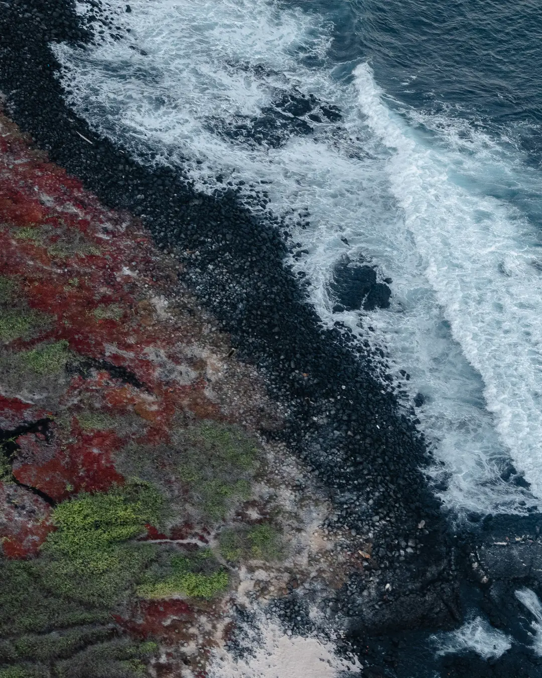
Floreana has an area of 17,253 hectares. It is easy to write that number and much harder to understand what it means to walk across it. This is an island born from fire, shaped by volcanoes, and covered by a mosaic of landscapes that can change dramatically within just a few kilometers. In the highlands, humid vegetation can soak your clothes. Further down come mud, dense scrub, and steep slopes. In other areas, the green disappears and rock takes over: uneven surfaces, ravines, lava fields, and arid zones where the sun seems to concentrate its heat on the stones.
Here, a short line on a map can become hours of walking. Some places can only be reached by sea. There are cliffs rising dozens of meters from the coast. There are places with no trails, where every step requires looking simultaneously at the ground, ahead, and around you, searching for where to place your foot and where to continue. The amount of water a person can carry determines how long they can remain there.
That is why that photograph was so important.
For years, a camera trap installed in a remote location could capture hundreds or thousands of images, but discovering what it had photographed required physically reaching the camera. On Floreana, that could mean spending an entire day walking to a single location simply to check a memory card.
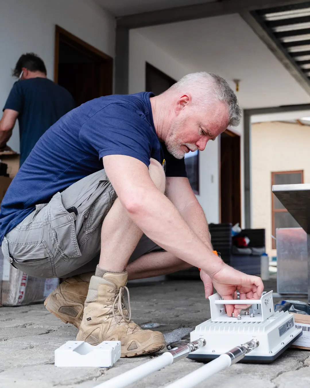
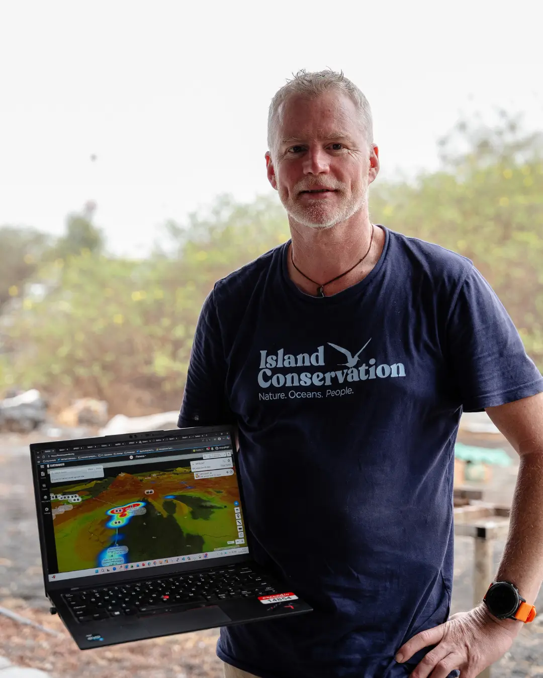
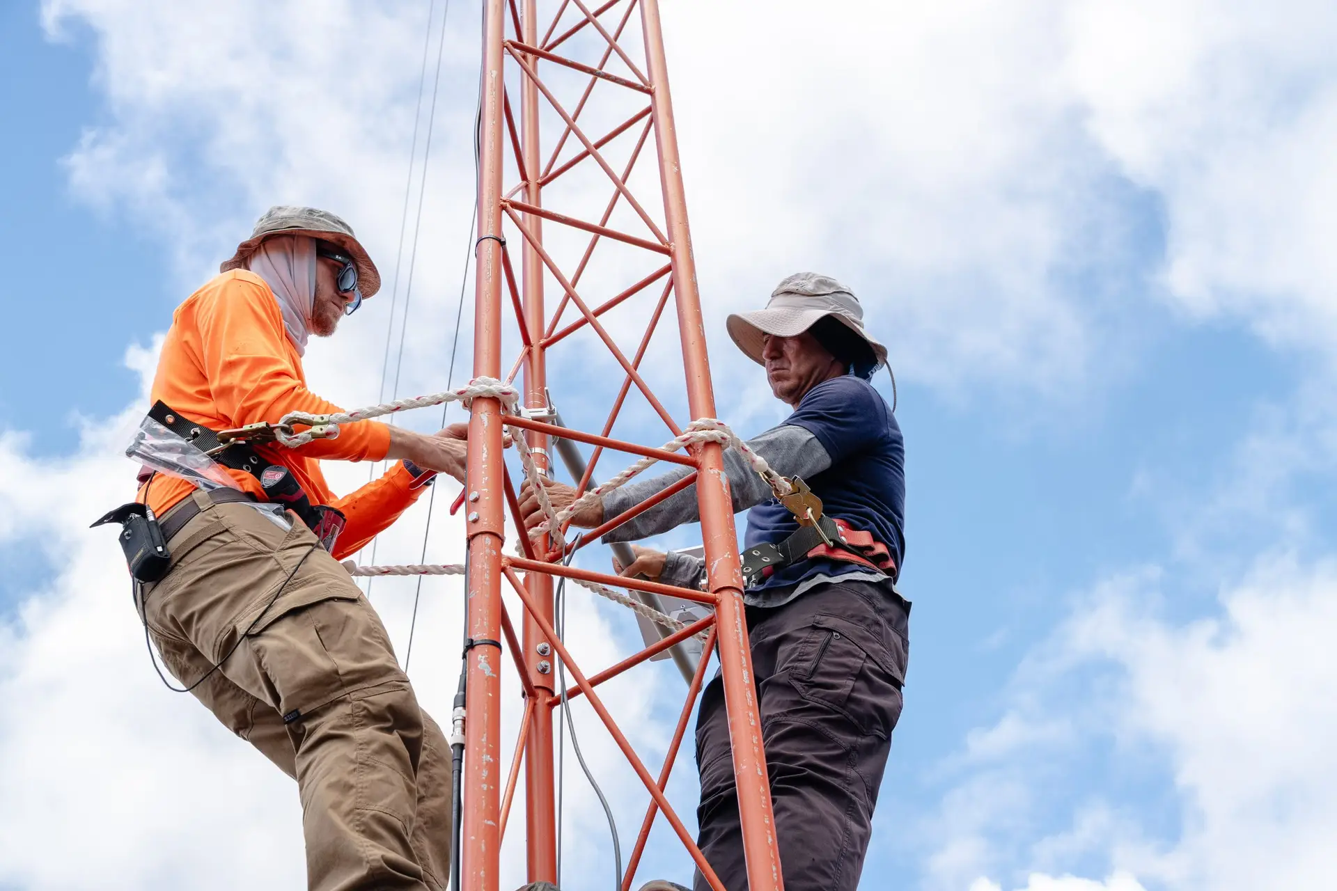
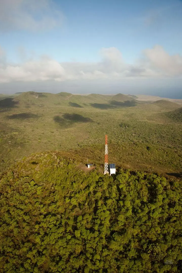
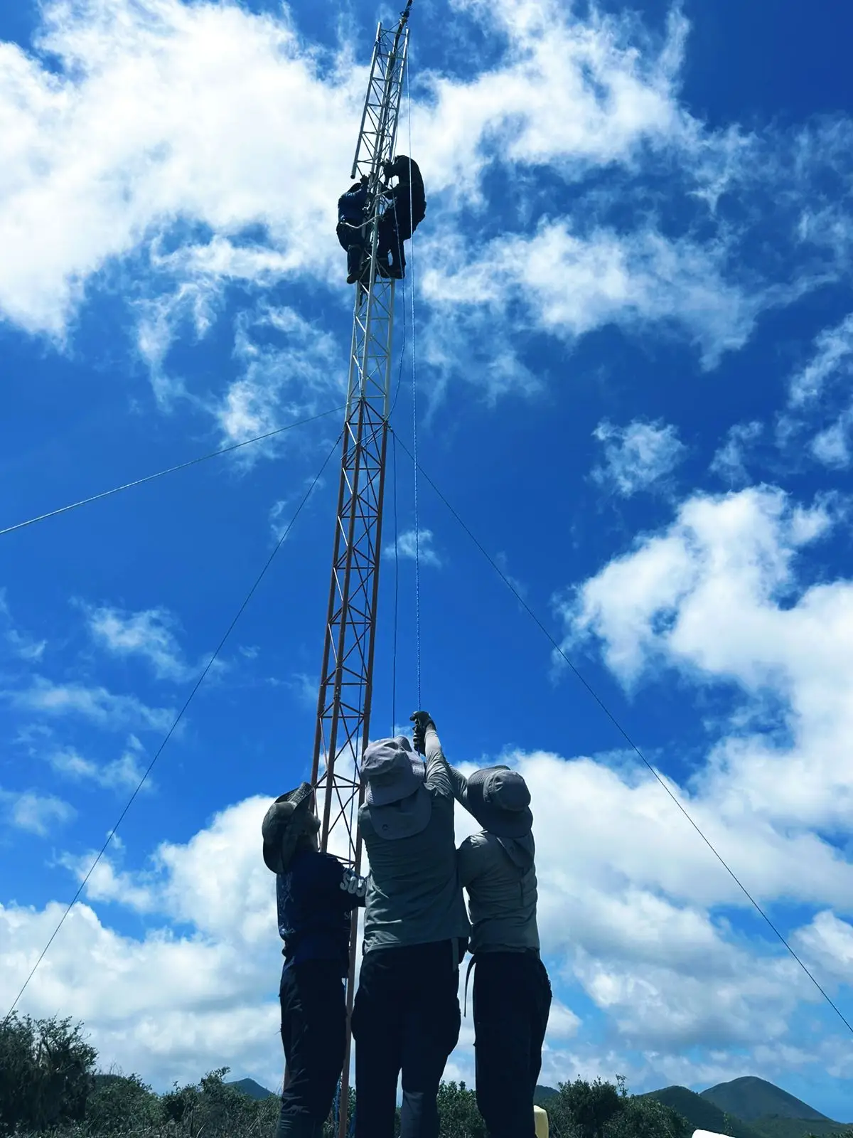
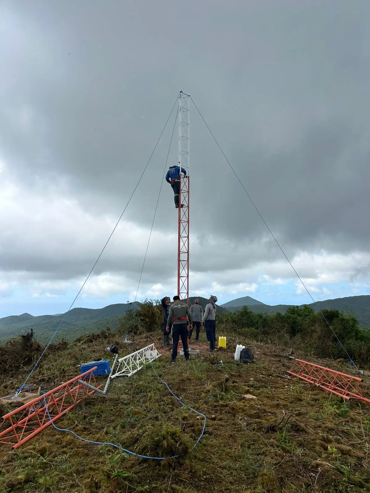
The Smart Island Management System, established in partnership with Jocotoco, Island Conservation, the Galapagos National Park and supported by Wildlife Protection Solutions and Earthranger, is changing that relationship between distance and information.
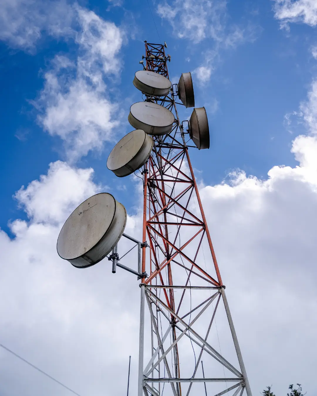
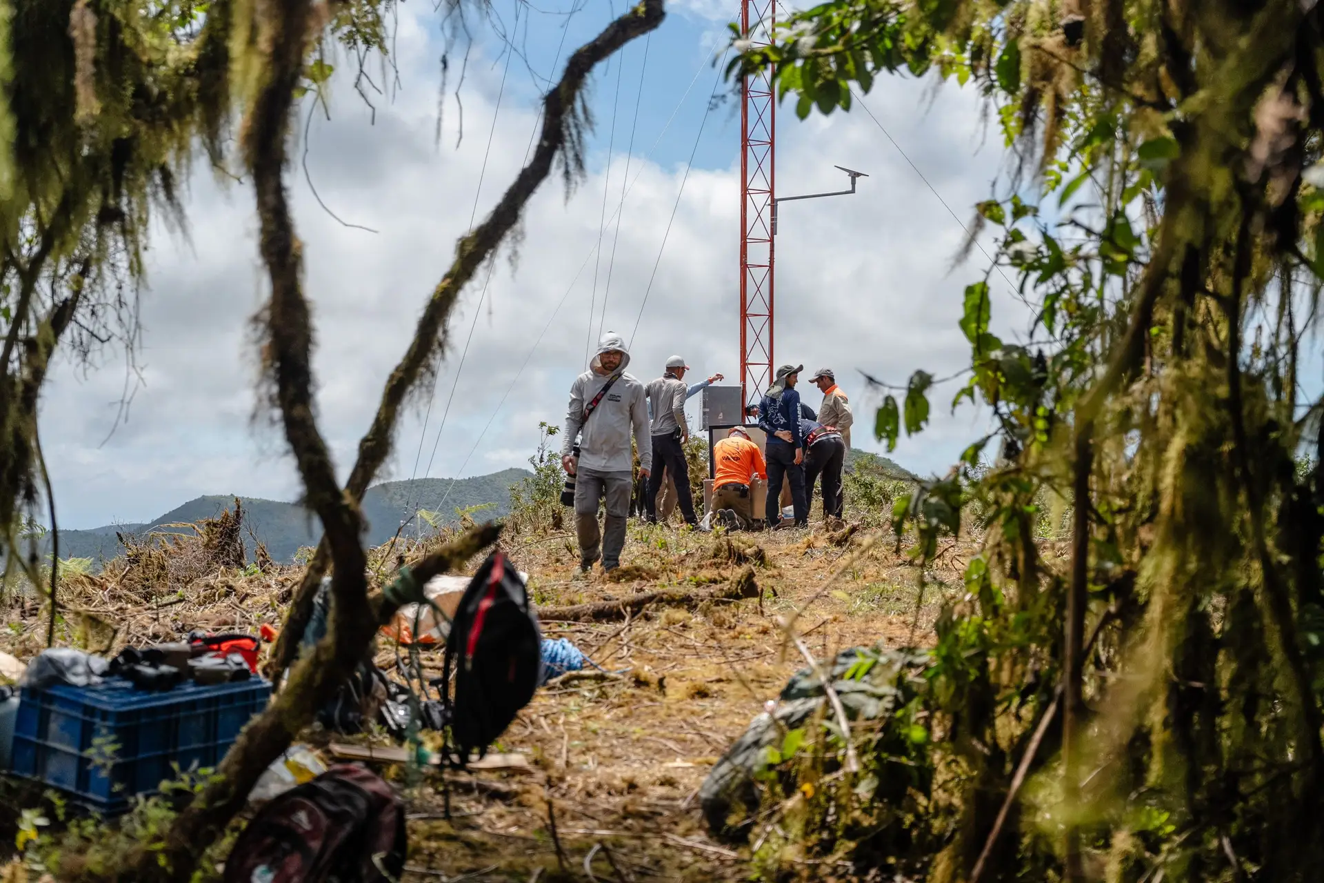
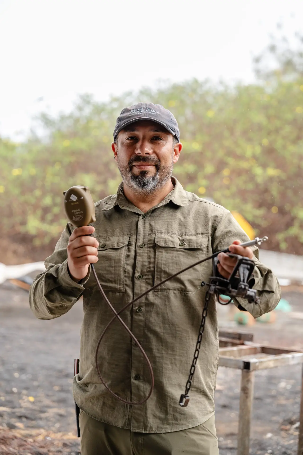
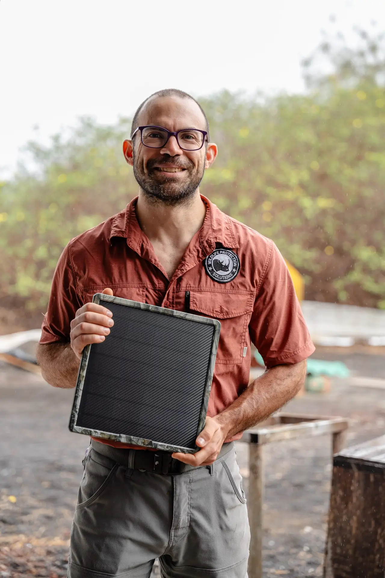
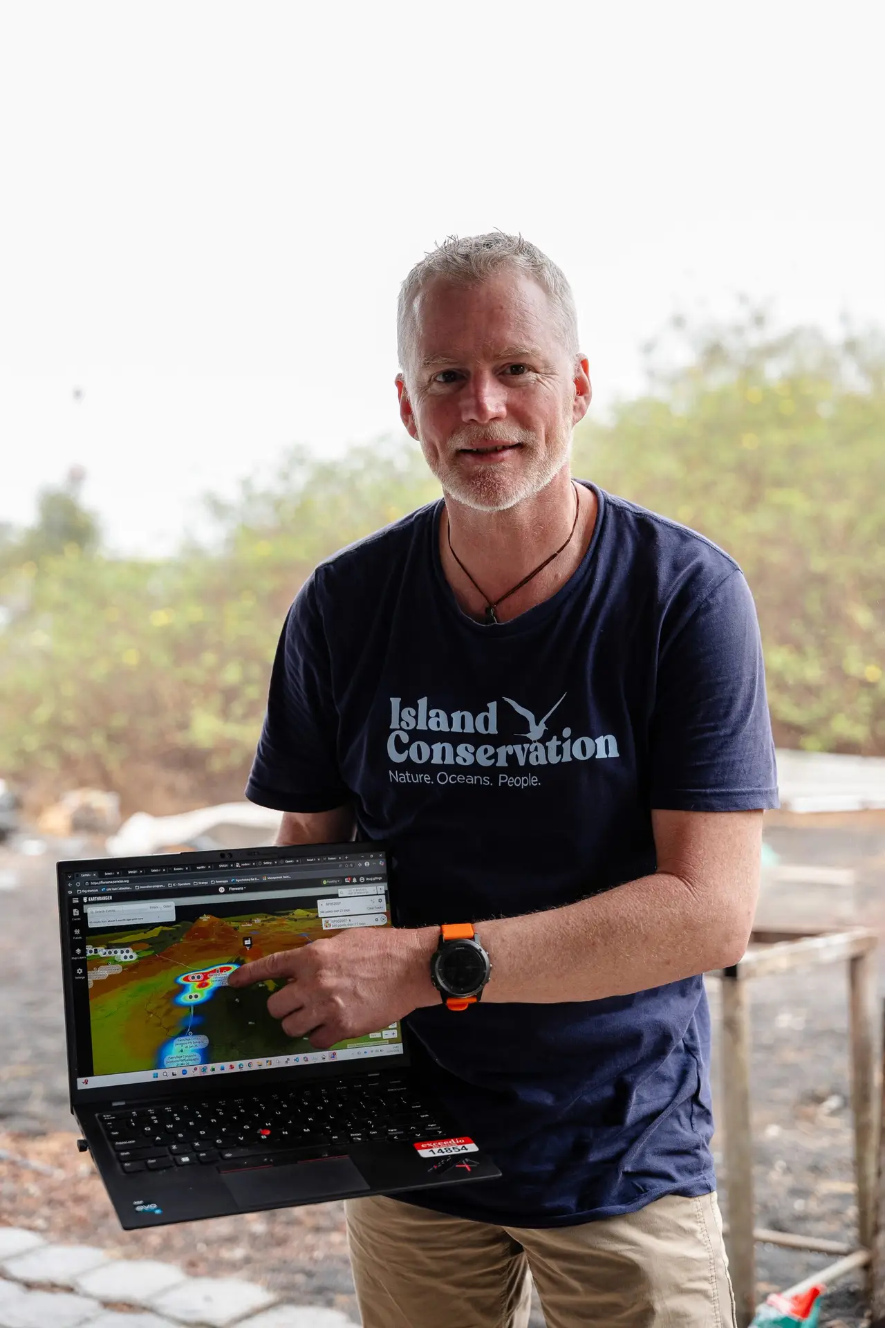
Conservationists currently maintain around 220 camera traps distributed across different areas of the island, 48 of which are connected through this technology. When one of these cameras detects an invasive species, the information can travel across the landscape and arrive practically in real time. Artificial intelligence helps classify the detections and, when something relevant appears, the team can decide where to concentrate its efforts.
Technology does not eliminate the mountains, the lava, or the kilometers.
But it eliminates something that can be equally costly in conservation: walking without knowing where to look.
The Cerro Guaytambo alert put that system to the test.
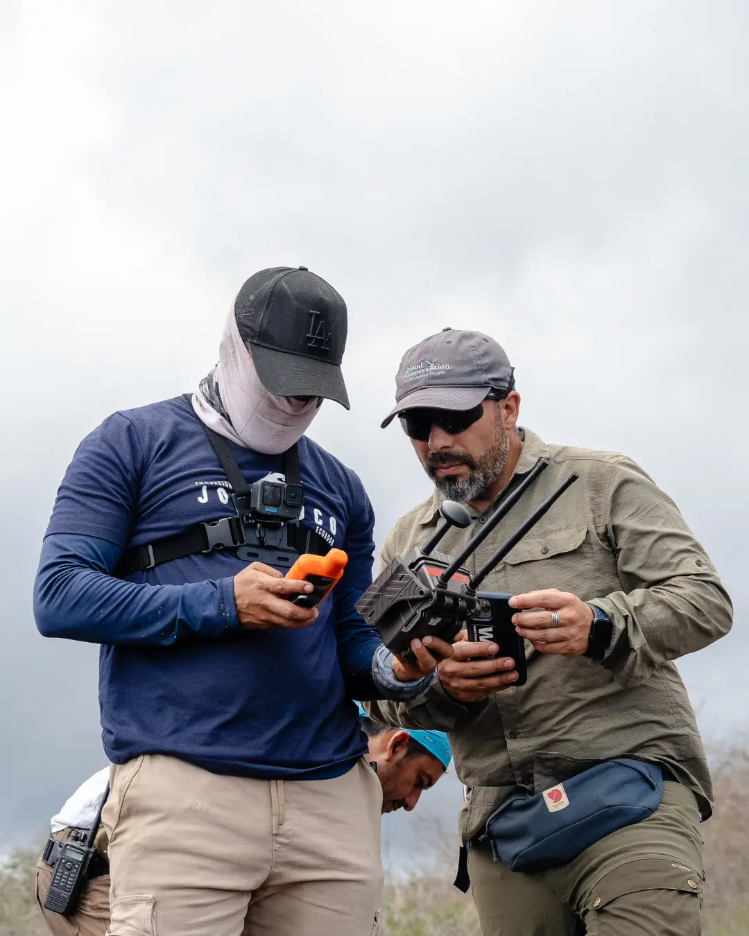
Juan Pablo and Wilson, from the Jocotoco Conservation Foundation, together with Milton from Galápagos National Park, headed toward the area where the cat had been seen, aiming to intervene quickly and remove the harmful, invasive predator from the delicate ecosystem. Part of the journey could be made by vehicle through the agricultural zone. After that, the real journey began: approximately twenty kilometers round trip.
Tall vegetation came first. Then came the mud. As they continued, the landscape changed again and volcanic rock began to dominate the terrain. But this time they were not going there to review hundreds of photographs to find out whether something might have happened. They already knew. Somewhere within that vast landscape there was a feral cat, and they had a location from which to begin their search.
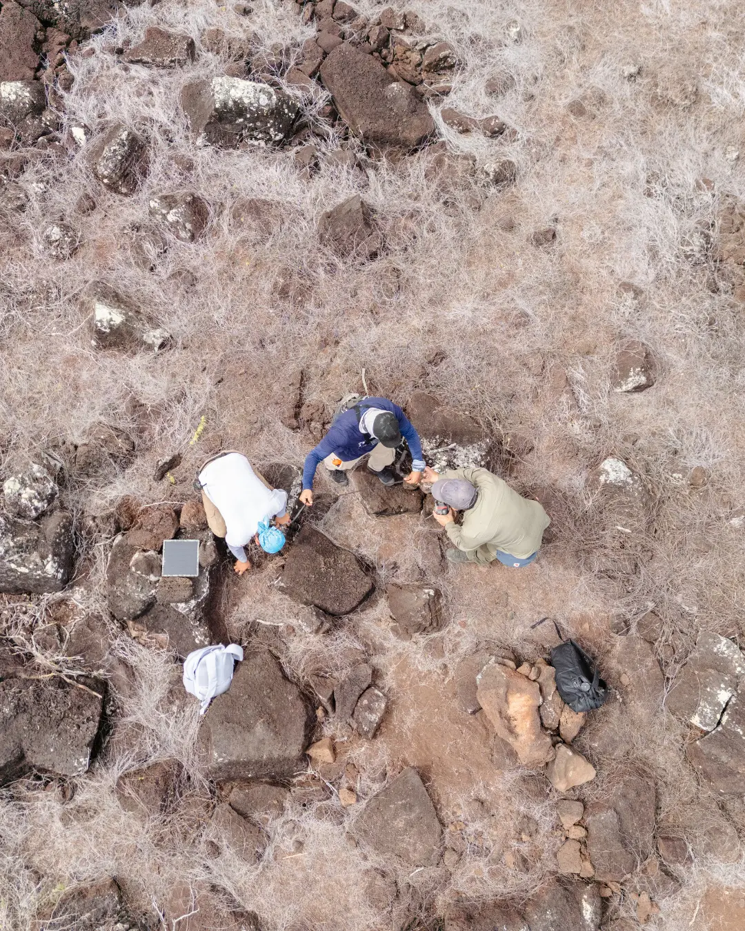
When Juan Pablo, Wilson, and Milton reached the site, they installed three traps and used urine from a previously captured feral female cat from Santa Cruz as an attractant. Then they left.
The camera remained there.
Watching.
Waiting.
Until a second image arrived.
This time, the photograph told a complete story. In the background, a the trap showed that a female cat had been captured. But in front of the camera, another individual was walking by.
They had captured one.
One remained.
Without that image, capturing the female might have seemed like the end of the operation at that location. The camera said exactly the opposite: the work was not finished.
But knowing where the second cat was and actually reaching it were two very different things.
Guaytambo was too far away to turn every inspection into a round-trip hike. So Juan Pablo and Wilson decided to change their strategy. Instead of visiting the territory, they would remain inside it. They prepared a camp and set out accompanied by Titán and Capitán, their search dogs.
This time, they would enter by sea.
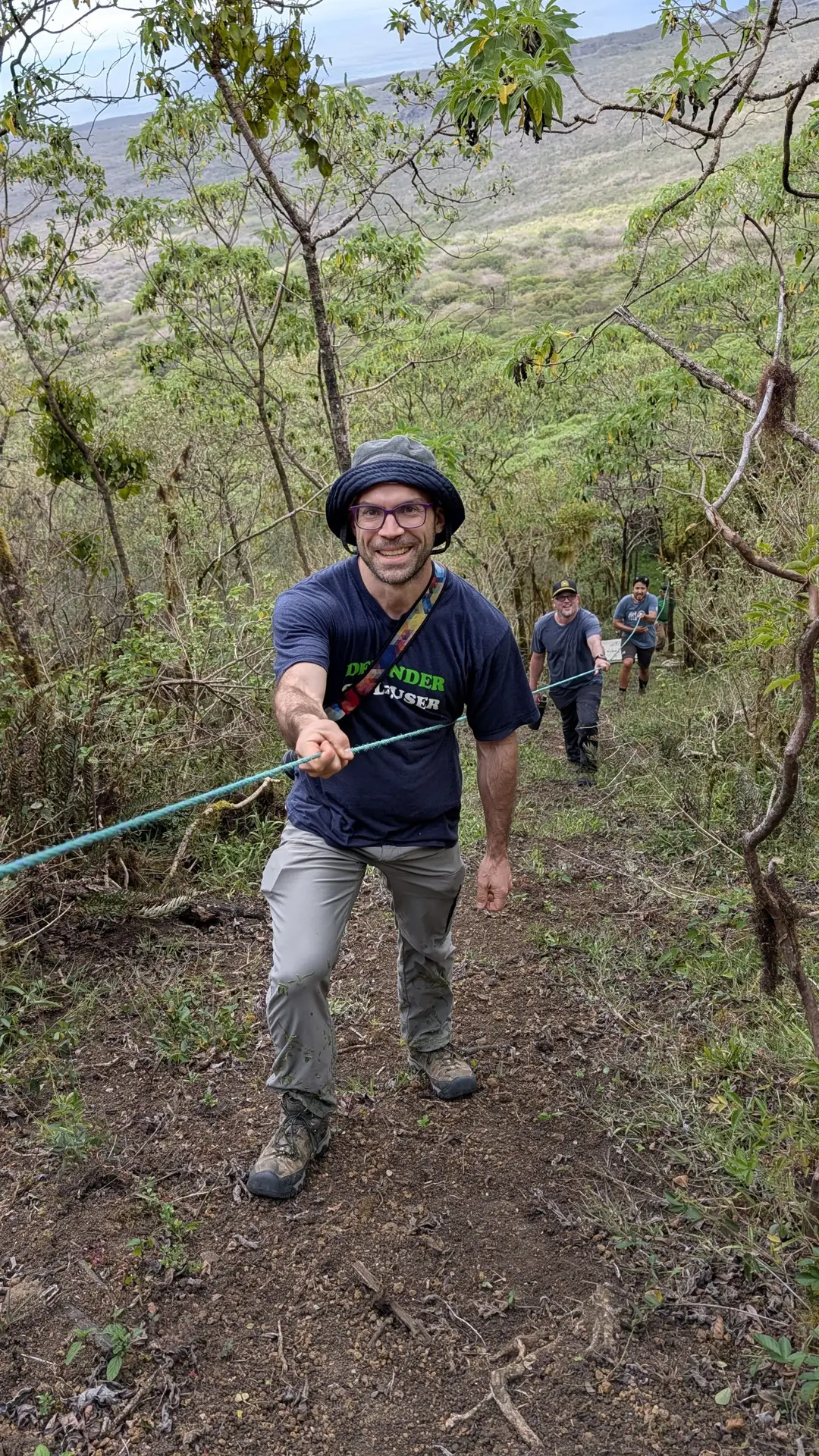
The landing site was at the base of a cliff approximately sixty meters high. Waves struck the coastline, causing the boat to rise and fall as they attempted to unload. There was no dock or platform where they could comfortably place the equipment. Wilson had to climb first until he found a small spot where he could barely secure himself.
From there, he began lowering a rope.
First came the equipment. Then the traps. The tents. The food. The fuel. The field gear. Everything they would need over the following days had to leave the boat and be hauled up the cliff, piece by piece.
The dogs as well.
Titán and Capitán had to be secured and helped up while, below them, the sea continued pushing the boat against the rocks.
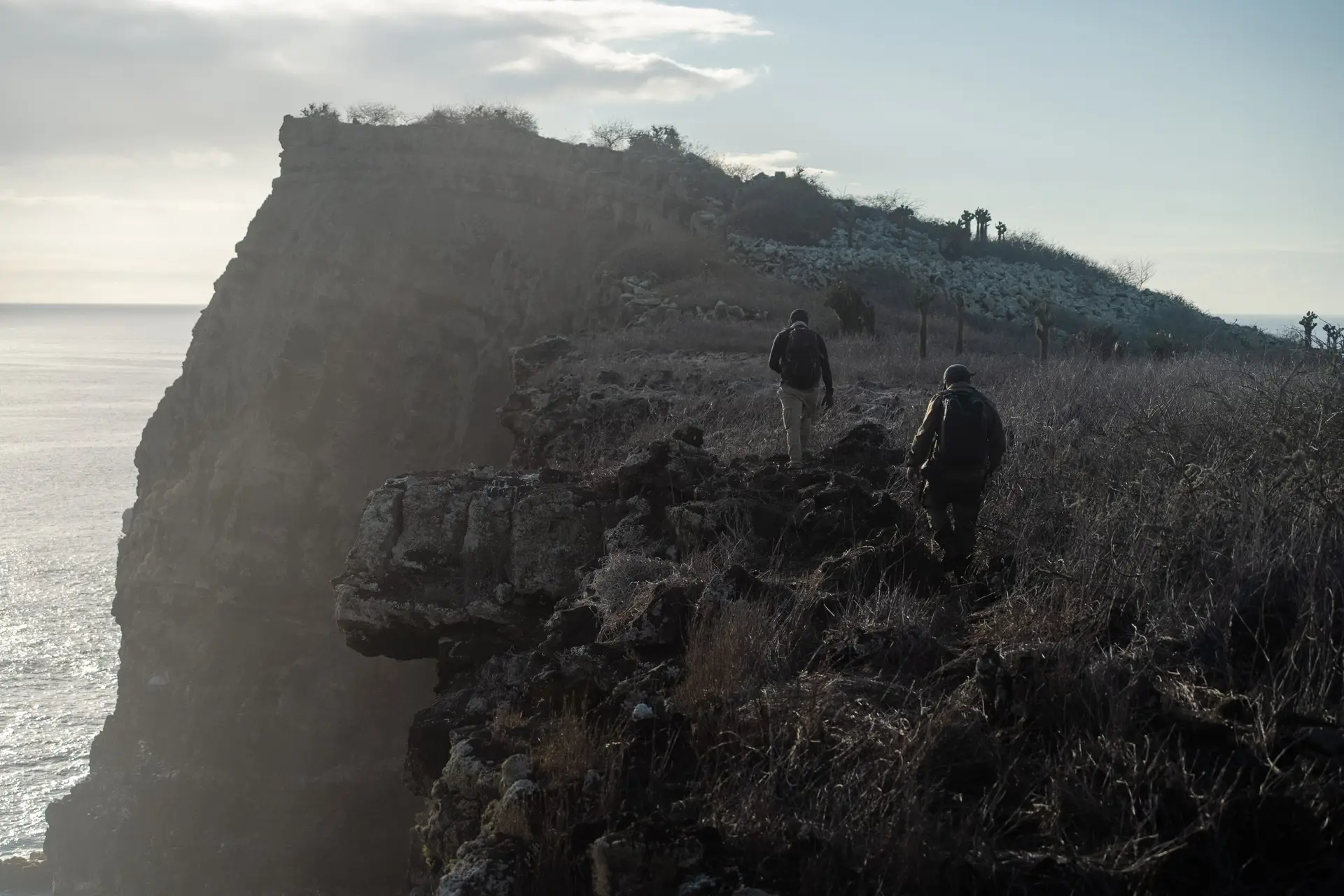
Once they had overcome the first section, another wall appeared that they could not climb directly. Once again, they used the rope. And when everything was finally at the top, they still had not reached Guaytambo.
In fact, they were only beginning.
At approximately four thirty in the afternoon, they began walking with all their equipment on their backs. The terrain was a combination of lava, dense vegetation, and steep slopes. As they moved forward, they checked the traps they had installed earlier. Some had to be temporarily deactivated because that night they would be working with the dogs.
Hours later, they reached C061L.
And there it was.
The second cat.
The patterns of its coat matched the animal that had appeared walking in front of the camera while the female remained trapped in the background. Now they could see it directly and confirm something the photographs had not allowed them to determine with certainty: it was an adult male.
Had Juan Pablo and Wilson reacted less quickly, the adult male and female cats could have reproduced in the wild, putting more pressure on Floreana’s native wildlife and potentially setting back conservation efforts on the island. The urgency with which Juan Pablo and Wilson responded to the suggested presence of even one feline is borne from this reality: a single pair of adult cats can wreak havoc on Floreana’s precious biodiversity, preying on the native birds, reptiles, and mammals which Island Conservation, Jocotoco, the Charles Darwin Foundation, the Galapagos Biosecurity Agency and Galapagos National Park are working so hard to protect.
At that moment, an extraordinary circle was completed.
A camera had observed an animal in a place where no person was present. A network had carried that information across the island. Artificial intelligence had helped identify it. An alert had reached a phone. That alert had triggered a decision. Milton’s participation in the first response showed how the Park and Jocotoco acted together on information from the monitoring system. And that decision had taken three people, two dogs, and an entire field operation across the sea, up a sixty-meter cliff, and through kilometers of lava to find exactly what the technology had indicated.
That is the Smart Islands Monitoring System on Floreana.
Not an antenna. Not a camera. Not simply a photograph arriving faster.
It is the ability to turn a remote signal into conservation action.
And its importance goes far beyond detecting invasive species. Integrated with compatible tracking devices, this network can help determine the location of teams working in remote areas and strengthen their safety, while also transmitting data on the movements of monitored animals, such as giant tortoises equipped with GPS devices, finches carrying small trackers, or owls under monitoring.
This information makes it possible to understand how they use the landscape, identify key areas, evaluate their adaptation after a release or reintroduction, and respond more quickly to situations requiring attention. In this way, Smart Islands monitoring can connect people, species, and landscape to guide conservation decisions based on timely information.
That night, Juan Pablo and Wilson set up camp approximately two hundred meters from the camera. With the support of Joel and Freddy, also from Jocotoco, they cleared a small space among the vegetation, pitched their tents and, using a small multi-fuel camping stove and a single pot, prepared their evening meal.
Water, however, had to be carefully rationed: it needed to last for them as well as for Titán and Capitán.
After dinner, they went out again.
They walked through the night searching for new signs with the dogs and returned close to midnight. The following morning, they dismantled the camp, reactivated the traps, and continued toward another sector. On the map, the distances seemed short; beneath their boots, they were something entirely different. There was no trail. They had to cut their way through with machetes, calculate every step over the rocks, and continue under a sun that made their water disappear faster than expected.
At the end of another long day, they reached the second campsite exhausted. There were no suitable trees from which to suspend their tents, so they slept on the ground. The wind was strong. The dogs were just as tired as they were.
The following morning, they had to make a detour to find water for Titán and Capitán. In the middle of that arid landscape, they found a ravine where some rainwater had collected in a deep crevice, protected from the sun by shade. There, the dogs drank before continuing.
For much of those days, they were practically cut off from communication. Without conventional internet access, the team depended on a radio that they switched on at scheduled times in the morning and evening.
And perhaps that is one of the moments that best explains what we are building on Floreana: people working in places where a phone can lose every connection to the outside world, while cameras begin connecting the landscape for conservation.
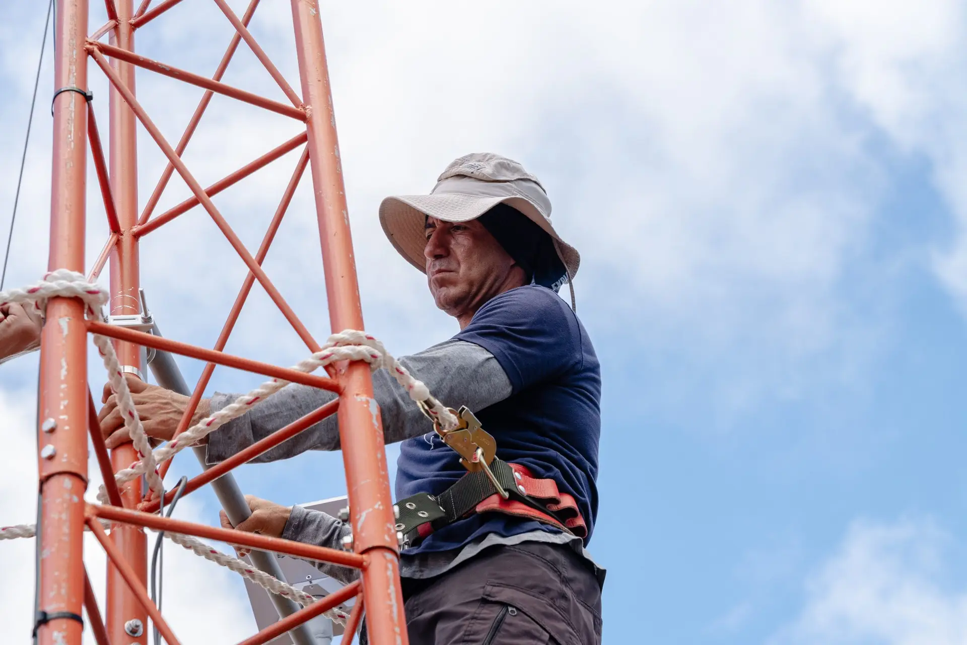
Technology did not do Juan Pablo and Wilson’s work. It did not climb the cliff. It did not carry the backpacks. It did not clear a path with a machete. It did not search for water for the dogs or spend the night among the lava.
It did something different.
It told them why all that effort was worth making.
That difference matters enormously when working across 17,253 hectares. Every day saved by skipping camera checks where no new activity was recorded can become a day spent installing traps, working with the dogs, responding to a detection, or monitoring another area. Every efficiency represents fuel, boats, food, field equipment, working hours, and resources that can be used more effectively.
That is why this story does not end with the two feral cats removed from Guaytambo.
In fact, it is only beginning.
In October, Island Conservation will significantly expand the current network, bringing the system close to 200 connected units and making it easier to receive information from places where conservationists currently still depend on physical visits. With every new connected point, Floreana becomes a little more visible. Not because its cliffs, lava fields, or enormous distances disappear, but because humans no longer need to be physically present in every location to begin understanding what is happening there.
This vision has led our joint initiative, “The World’s First Smart Island: LoRaWAN for the Conservation and Ecological Restoration of Floreana Island,” to be recognized among the Top 50 finalists of Premios Verdes 2026.
But when we talk about a Smart Island, we are not talking about filling an island with technology.
We are talking about using technology to help people conserve better.
Because behind every alert, there is still someone willing to respond.
Behind that photograph were Milton’s work alongside the Jocotoco team during the initial response, and Joel and Freddy’s support in the field, twenty kilometers of travel, a landing through rough seas, a sixty-meter cliff, ropes, backpacks, traps, two dogs, campsites, nights of searching, carefully rationed water, and people who kept moving forward even when the terrain seemed to tell them to stop.
It all began with an image.
For just a few seconds, a feral cat crossed in front of a camera in a remote corner of Floreana. There was no one there to see it.
But the camera did.
The signal crossed the island. And on the other side, it found people willing to cross the sea, climb cliffs, and walk across lava to respond.
Today, we know that we cannot be in every corner of Floreana.
But we are building an island capable of telling us where we need to be.
And when Floreana calls again, we will be ready to respond.